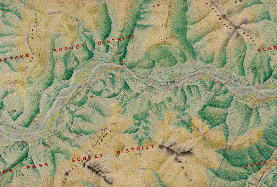
Open Source Map Making
QGIS
Open source GIS with QGIS. Let us workup your geospatial data to create beautiful maps showing your data in new ways. Or let us help you to create your own.
Mobile Data Collection
Mergin Maps
Using Mergin Maps data collection solution, we build forms in QGIS to be used with the Mergin mobile app on mobile devices and tablets, online & offline. Ask us to quote for the development of your mobile forms.
Visualise your data
Useful NZ geospatial links
Retrolens - Historical Imagery
Open Topography - NZ Lidar datasets
Nabis - MPI layers


