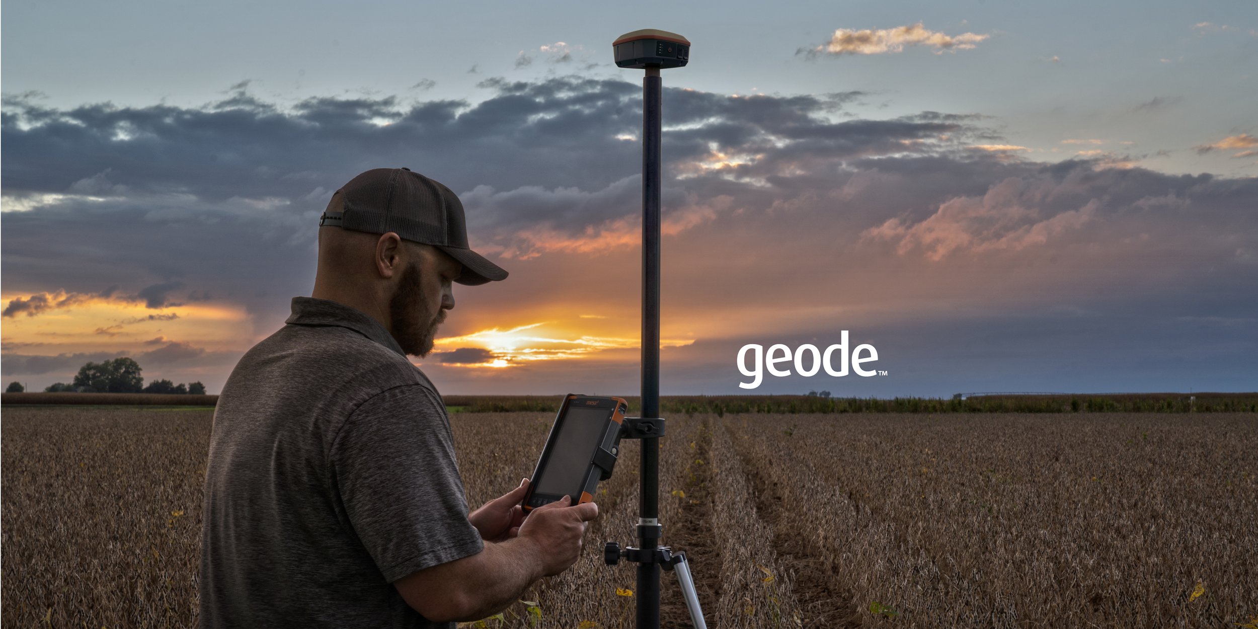
Your location, our solution
With Geode GNSS Receivers, users can easily collect real-time GNSS data with sub-meter, sub-foot, decimeter and centimeter accuracy options. Now you can achieve professional-grade mapping RTK, whether you are a professional or just getting started.
-

GEODE GNS3 COMPATIBILITY
• Windows® PC
• Android™ 8 and above
• iPhone and iPad (See our website for full list of compatible Apple devices)
• GeodeConnect™ software provides configuration, communications setup, and receiver settings
RECEIVER
• Receiver Type: GNSS multi-frequency, multi-constellation
• Signals: GPS: L1CA, L1P, L1C, L2P, L12P, L2C, L5, GLONASS: G1, G2, BeiDou: B1, B2, B3
(without L5), GALILEO: E1BC, E5a, E5b and QZSS: L1CA, L1C, L2C, L5
• Channels: 800+
• SBAS Support: 3-channel parallel tracking
• L Band: Atlas4 worldwide 1525-1560 Mhz (with Subscription)
• Update Rate: 1 Hz standard, up to 10 Hz and 20 Hz options
ACCURACY
• SBAS: 30 cm RMS1
• RTK: 1 cm RMS
• Atlas (95%): H10: 8 cm, H30: 30 cm, Basic: 50 cm (requires subscription)
• Autonomous: 1.2 meters RMS2
• Cold Start: <60 sec typical (no almanac)
• Reacquisition: 15 sec Atlas, all others <1 sec
COMMUNICATIONS
• Bluetooth® 5.1 SPP, iAP2, EAP
• Bluetooth Range: Class 1 Long Range
• Ports: USB Type-C; Serial RS232C DB-9
• Serial Baud Rates: 4800–115200
-

RECEIVER PROTOCOLS
• Data I/O Protocol: NME
A 0183, Crescent Raw
Binary (proprietary)
• Correction I/O Protocol: Hemisphere GNSS Proprietary, ROX, RTCM v2.3, RTCM v3.2, CMR, CMR+
• Other: 1PPS Timing Output, Speed Pulse, Event Marker Input (optional)
POWER
• Input Voltage: 5VDC @ 2A USB
• Power Consumption: 1.7–2 W nominal
• Overtime Technology™ Battery: 3.6V 6000 mAh Li-ion (GNS3M) 10 hours3, (GNS3S) 16
hours3
• Charging Time: Less than 4 hours
ANTENNA
• Internal precision single/multi-frequency with integrated ground plane
• External Antenna Port: MCX type
JUNIPER RUGGED™
• Operating Temp: -20 C to +60 C
• Storage Temp: -30 C to +60 C
• Meets or Exceeds MIL-STD 810G (Drop, Vibration, Temperature, Ingress Protection)
• Enclosure Rating: IP68 (1.4 meters for 30 min)
-

RECEIVER UPGRADES
• 10 Hz Data Rate
• 20 Hz Data Rate
• Multi-Frequency
• Atlas Basic
• Atlas H30
• Atlas H10
• Athena4 RTK Engine
INCLUDED ACCESSORIES
• Cable: USB-A to USB Type-C
• Cable: USB Type C to USB Type-C
• 5/8 x 11 Pole Mount Adapter
• USB charger
CONFIGURATIONS
• Geode GNS3S Single Frequency Antenna, 9-pin serial port, No Atlas support
• Geode GNS3M Multi Frequency Antenna, 9-pin serial port, All Atlas subscriptions supported
DIMENSIONS
• 110x110x57 mm (4.36x4.36x2.25 in)
• Weight: 394 g (14 oz)
• Mount: ¼ x 20 camera stud and M4 AMPS
diagonal
NOTE:
1. GNSS accuracy subject to observation conditions, multipath environment, number of satellites in
view, satellite geometry, and ionospheric activity
2. Signals used dependent on model configuration
3. Battery run time dependent on correction signal and temperature
4. Atlas and Athena are registered trademarks of Hemisphere GNSS Inc.
GNSS Time Series Map
Interactive map showing all NZ GNSS sites.
The majority of GeoNet's ground deformation data are collected continuously using GNSS (commonly referred to as GPS) receivers and antennas.
GPS/GNSS receivers determine very precisely positions on the surface of the earth. We compute a daily position for each of our stations so we can track the deformation caused by the interaction of the Australian and Pacific tectonic plates. This is our collection of GPS/GNSS-related data resources and tools.

PositionNZ
The Toitū Te Whenua PositioNZ Real Time Service (PositioNZ-RT) streams GNSS (including GPS and GLONASS) data in real time. This free service allows users of real-time GNSS equipment to obtain positions in terms of New Zealand Geodetic Datum 2000 (NZGD2000) without having to set up their own base station.
PositioNZ - Real Time Service | Toitū Te Whenua - Land Information New Zealand (linz.govt.nz)

Geode Connect
Geode Connect is a standalone configuration and communication utility for the Geode GNSS receiver. Geode Connect can also be used with Windows Location Services, as a GPS port splitter, and/or as an NTRIP client for third-party data collection apps.
